

The Baltic
The losses around the Bay of Danzig (Gdansk) were mostly due to very heavy mining operations by the British in 1944. This helped delay the deployment of the XXI boats in late 1944.
This map does not include the more than 200 U-boats scuttled there in May 1945.
U-boats lost in the Baltic
2 German U-boats lost in the Baltic, almost half of them lost through accidents, see the map below.
See the losses in the Kattegat area.
Accidental U-boat losses in the Baltic
Training accidents
Interesting fact about this area is the number of U-boats lost to accidental collisions with other U-boats and vessels. Since this was the main training area for the massive U-boat force build-up during the war accidents can be expected.
German U-boat lost through accidents in the Baltic.
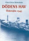
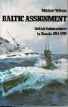
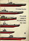
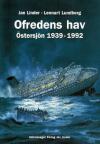
Selected media links
|
|
|
|
|